
Skip to content
Home
Casnewydd - NewportWales

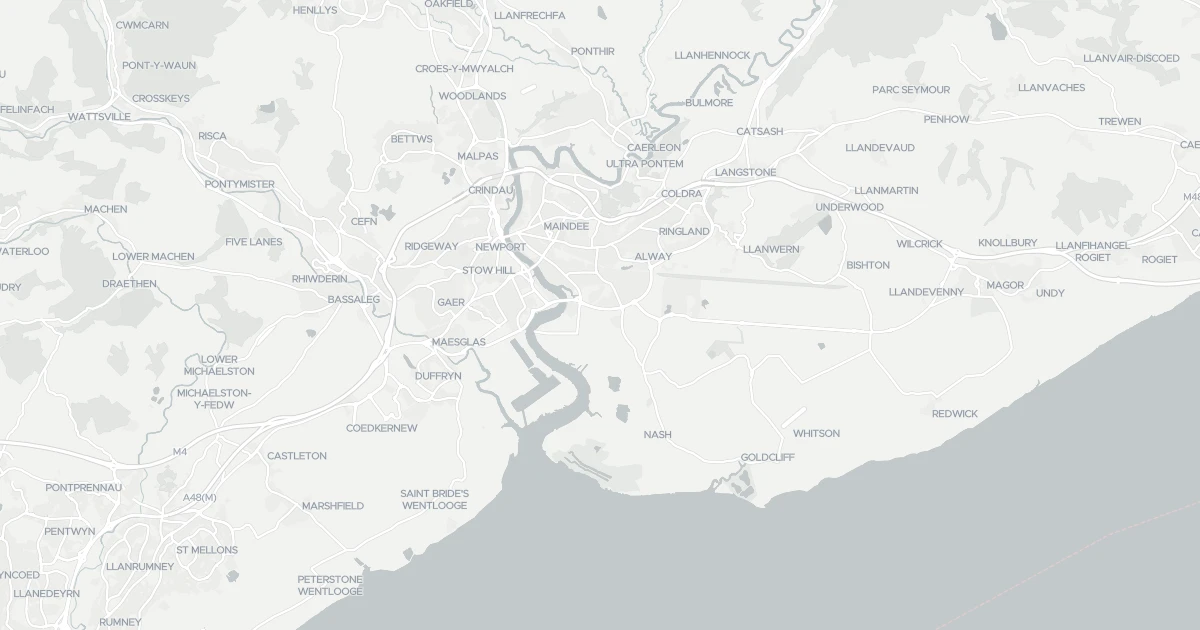
Area Overview for Casnewydd - Newport

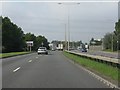
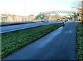
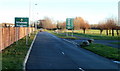
Spytty Road (A48) approaching the power lines in Casnewydd - Newport
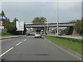
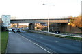
Railway overbridge, Spytty Road (A48) in Casnewydd - Newport
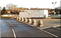
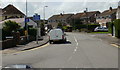
Dorset Crescent, Newport in Casnewydd - Newport
Newport : Nash Road viewed from Spytty Road footbridge in Casnewydd - Newport
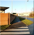
Footpath and cyclepath, Spytty Road, Newport in Casnewydd - Newport
Ahead for velodrome, Newport in Casnewydd - Newport
Eastern edge of Newport Stadium in Casnewydd - Newport
Newport Cycle Speedway Club premises in Casnewydd - Newport
Spytty Road railway bridge, Newport in Casnewydd - Newport
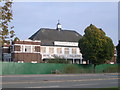
W. R. Lysaght Institute in Casnewydd - Newport
Traston Road, Newport in Casnewydd - Newport
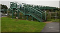
Footbridge over Spytty Road, Newport in Casnewydd - Newport
100 photos from this area

Area Information

Key information about the Casnewydd - Newport including its size, population, and administrative classification.

Area Type
District/Borough
Area Size
217.7 km²
Population
Not available
Population Density
Not available

Area Report

Crime & Safety

No data

No Police.UK records for this area in the latest month.

Planning

What is being applied for and built around Casnewydd - Newport.

Demographics

Household size
Family (3-5 people)

Most common

Accommodation type
Houses

Most common

Home ownership
64%

Of households own their home

Median age
47 years

Across all residents

Age range
Adults (30-64 years)

Most common

Household composition
Single family household

Most common

Ethnic group
White

Most common

Religion
No religion

Most common

Household deprivation
46%

Of households have no deprivation dimensions

NS-SEC
19%

In lower managerial occupations

Air Quality

Pollutant levels, the official index and health context for Casnewydd - Newport.

Nearby Areas