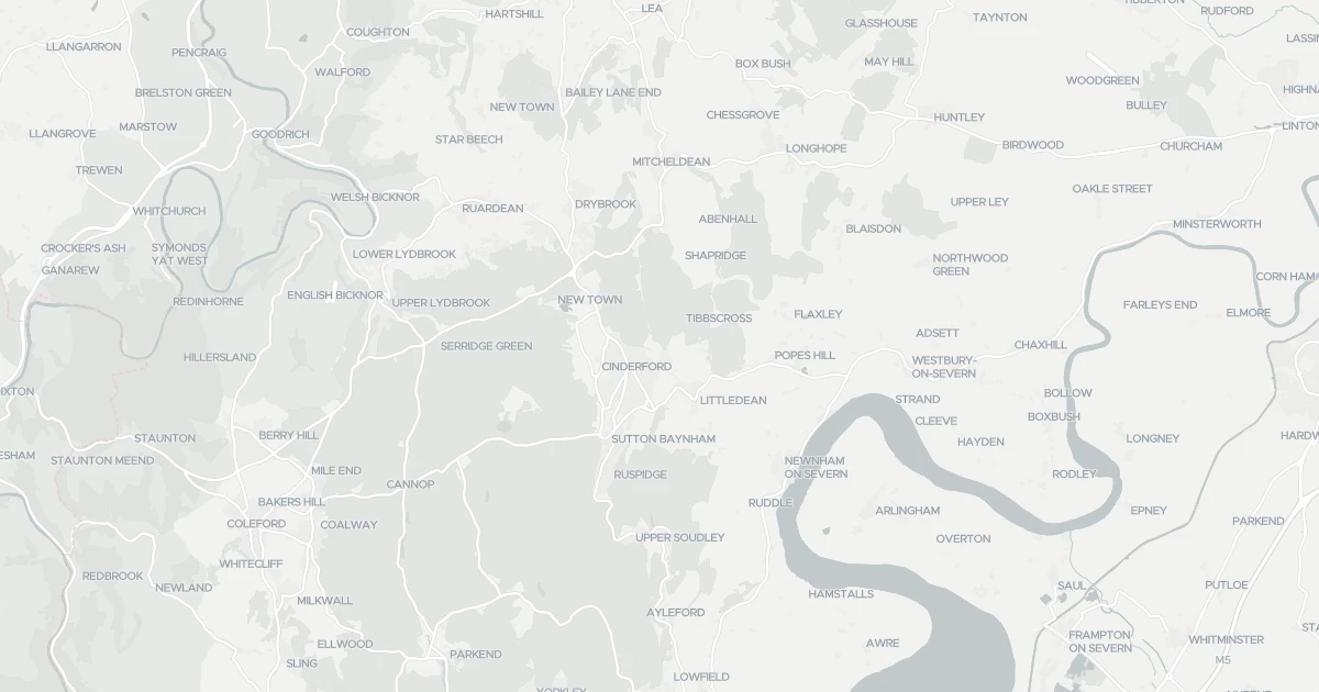
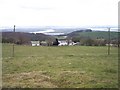
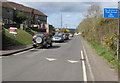
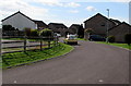
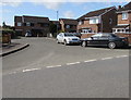
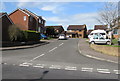
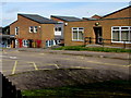
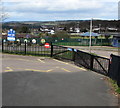
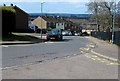
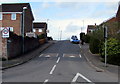
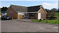
Living in Forest of Dean District offers a landscape defined by rugged hills and deep valleys rather than endless urban sprawl. This local authority district covers an expansive 562.2 km², creating a vast sense of space that dominates daily life for residents. You will find yourself moving through an environment where wide-open skies and forested terrain are the primary visual features. The area functions as a significant rural district within England, removing you from the immediate pulse of major city centres while maintaining connection to the wider national network. Daily life here revolves around the natural rhythms of the countryside and the specific needs of a dispersed population. Whether you are driving along country lanes or walking through wooded areas, the sheer scale of the territory shapes your experience. This is not a compact town; it is a broad territory where distance plays a fundamental role in how you access services and navigate your week. The setting invites a slower pace, yet the practicalities of managing such a large area require careful planning for commuting and travel. You should consider the geography carefully before committing to a property, as the size of the district directly influences your lifestyle.
Area Type
District/Borough
Area Size
562.2 km²
Population
Not available
Population Density
Not available
Area Report
Crime & Safety
Medium crime
At 72 out of 100, this area has low crime, above the England and Wales average of 58 (higher is safer). The score has risen in the 12 months to April 2026, so the area is getting safer. The most reported crime here is violence and sexual offences.
Safety score
72 / 100
Low crime
National average
58 / 100
14 points safer
Most common
Violence and sexual offences
12 in April 2026
Recent trend
Improving
Area getting safer
Crime map
Interactive
This map shows where the police have recorded crime near the property. Open it to filter by crime type and time period.
Safety trend
Improving
The safety score tracks recorded crime month by month against the regional and national average, where higher is safer. In this area it has climbed from 67 to 72 out of 100 in the 12 months to April 2026, so less crime is being recorded and the area is getting safer.
Local
Reported crime by type
41 reported
These are the crimes the police recorded in this area in April 2026, by type. Violence and sexual offences was the most common, with 12 of 41 reports. This counts reported crime only, so the real figure may be higher.
Violence and sexual offences
12
Anti-social behaviour
8
Vehicle crime
6
Criminal damage and arson
4
Other theft
3
Burglary
3
Public order
2
Shoplifting
2
Bicycle theft
1
Compared with the national average
14 points safer
This compares this area with the average for England and Wales, crime type by type. A green shield means that type is less common here than average; red means more common. Overall this area scores 72 against 58, 14 points safer than the national average.
Crimes recorded per 1,000 people in the latest month on record. Green is safer, red is higher than average.
Plus reveals the safety score for this exact area, the recent 12-month trend and the offence-by-offence breakdown against the national average.
Safety score for this exact neighbourhood
Recent trend, month by month
Offence-by-offence breakdown
How it compares with the national average
Plus subscription · cancel anytime
Planning
What is being applied for and built around Forest of Dean District.
Demographics
The community within Forest of Dean District speaks to a settled, older population with deeply rooted local ties. Statistics show the median age is 70, indicating a demographic heavily skewed towards retirement living. The most common age group totals the adult population, confirming that young families are a minority in this district. Home ownership stands at a striking 73%, meaning the vast majority of homes are owned outright or with a mortgage rather than being rented properties. This high ownership rate suggests stability rather than the fluidity typical of student or city rental markets. Household composition reflects a society where families have already completed their life cycles, with many residents residing in spacious accommodation suitable for elderly care or leisure. The population is relatively homogenous, with total ethnic and religious data reflecting a traditional demographic profile rather than a rapidly diversifying one. Living here means engaging with neighbours who have often lived in the same properties for decades. The low turnover rate creates close-knit neighbourhoods where local knowledge is abundant, yet modern amenities may require travel further than in larger towns. You should expect a quiet environment where the average resident prioritises stability over rapid change.
Household size
Two person
Most common
Accommodation type
Houses
Most common
Home ownership
73%
Of households own their home
Median age
47 years
Across all residents
Age range
Adults (30-64 years)
Most common
Household composition
Single family household
Most common
Ethnic group
White
Most common
Religion
Christian
Most common
Household deprivation
48%
Of households have no deprivation dimensions
NS-SEC
19%
In lower managerial occupations
Air Quality
Pollutant levels, the official index and health context for Forest of Dean District.
The population is dominated by older residents, with a median age of 70. Home ownership is very high at 73%, indicating a community of long-term owners rather than a transient rental market. The demographic profile reflects a settled society where most households consist of adults and retirees rather than young families.
Is internet reliable for working from home in this area?
Connectivity is uneven. Mobile coverage scores 80 out of 100, providing excellent mobile network quality. However, fixed broadband scores only 30 out of 100, classifying it as poor. Residents must arrange private upgrades if their work depends on stable, high-speed internet connections.
What are the main safety concerns for residents?
Crime risk is low with a safety score of 72 out of 100, making it a secure place to live. However, there is a medium flood risk scoring 24.76 out of 100. Planning is also restricted by areas of outstanding natural beauty and protected woodlands, which limits building developments.
How large is the area and how does this affect living there?
Forest of Dean District covers 562.2 km², making it a vast rural area. This significant size means daily life relies heavily on private transport, as distances between towns and services are considerable. The landscape is defined by open space rather than densely packed urban environments.